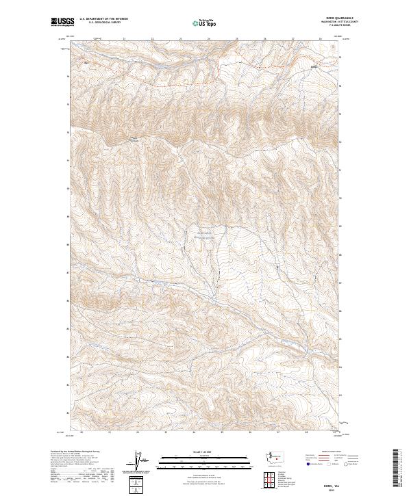
2023 Map of Doris
USGS Topo · Published 2023About this map
The Saddle Mountains dominate the northern landscape of this Kittitas County region, where the ridge lines rise sharply above the drainages of Johnson Creek and Hanson Creek. This 2023 survey documents the modern intersection of recreational land use and active military operations, as a significant portion of the southern terrain falls within the Joint Base Lewis-McChord boundary. Historically tied to the rail corridors of Central Washington, the small settlements of Doris and Rye are situated along the northern edge of the map.
Find a feature on this map
11 named features on this map. Tap any name to fly to it.
Don’t see what you’re looking for? This feature index may not catch every label — zoom into the map to look around manually.
Map Details
Editions of this 2023 Doris Map
This is the sole edition of this map. No revisions or reprints were ever made.
Other maps of this area

1912 · Beverly
USGS Topo · 1:62,500

1917 · Priest Rapids
USGS Topo · 1:62,500

1936 · Hog Ranch Buttes
USGS Topo · 1:48,000

1939 · Boylston
USGS Topo · 1:48,000

1941 · Black Rock Spring
USGS Topo · 1:62,500

1943 · Boylston
USGS Topo · 1:62,500

1948 · Priest Rapids
USGS Topo · 1:24,000

1950 · Yakima
USGS Topo · 1:250,000

1951 · Priest Rapids
USGS Topo · 1:62,500

1953 · McDonald Spring
USGS Topo · 1:24,000