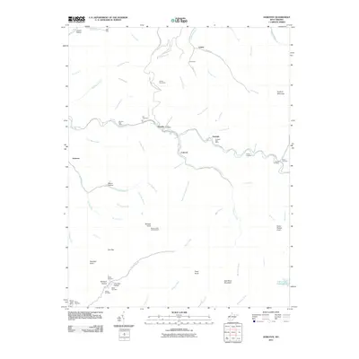
2011 Map of Dorothy
USGS Topo · Published 2011About this map
Clear Fork and its winding tributaries carve through the coal-rich highlands of Raleigh and Kanawha Counties, defining the development of mining communities like Dorothy, Ameagle, and Colcord. This early 21st-century terrain is marked by numerous family and community burial grounds, such as the Stanley Cemeteries and Hodge Cemetery, which speak to the deep genealogical roots of the hollows. The presence of the Wriston Knob Lookout Tower atop Wriston Knob reflects a legacy of forest management, while the Collins Fork Impoundment near Coal River Mountain indicates the industrial scale of water management in the region. Local infrastructure is anchored by the Dorothy Post Office and Ameagle Post Office, serving as small nodes of connectivity along the Sycamore Creek Rd and other mountain passes. This landscape showcases the intersection of extractive industry and the enduring settlements that formed around it, from the northern heights of Kayford Mountain to the southern reaches near the Naoma Post Office.
Find a feature on this map
75 named features on this map. Tap any name to fly to it.
Don’t see what you’re looking for? This feature index may not catch every label — zoom into the map to look around manually.
Map Details
Editions of this 2011 Dorothy Map
This is the sole edition of this map. No revisions or reprints were ever made.
Other maps of this area

1891 · Oceana
USGS Topo · 1:125,000

1891 · Raleigh
USGS Topo · 1:125,000

1893 · Oceana
USGS Topo · 1:125,000

1897 · Kanawha Falls
USGS Topo · 1:125,000

1897 · Raleigh
USGS Topo · 1:125,000

1898 · Oceana
USGS Topo · 1:125,000

1899 · Charleston
USGS Topo · 1:125,000

1900 · Kanawha Falls
USGS Topo · 1:125,000

1901 · Kanawha Falls
USGS Topo · 1:125,000

1902 · Raleigh
USGS Topo · 1:125,000