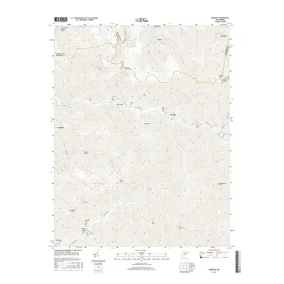
2016 Map of Dorothy
USGS Topo · Published 2016About this map
Coal River Mountain and Kayford Mountain dominate the topography of this region at the intersection of Boone, Raleigh, Kanawha, and Fayette counties. The landscape is defined by its deep hollows and high points, including Wriston Knob and Squealer Knob, where small communities like Dorothy, Colcord, and Ameagle follow the path of Clear Fork. Industrial history is evident in names like the Truax-Traer Coal Company Spring, reflecting the long-standing mining economy of the Coal River valley.
Find a feature on this map
92 named features on this map. Tap any name to fly to it.
Don’t see what you’re looking for? This feature index may not catch every label — zoom into the map to look around manually.
Map Details
Editions of this 2016 Dorothy Map
This is the sole edition of this map. No revisions or reprints were ever made.
Other maps of this area

1891 · Oceana
USGS Topo · 1:125,000

1891 · Raleigh
USGS Topo · 1:125,000

1893 · Oceana
USGS Topo · 1:125,000

1897 · Kanawha Falls
USGS Topo · 1:125,000

1897 · Raleigh
USGS Topo · 1:125,000

1898 · Oceana
USGS Topo · 1:125,000

1899 · Charleston
USGS Topo · 1:125,000

1900 · Kanawha Falls
USGS Topo · 1:125,000

1901 · Kanawha Falls
USGS Topo · 1:125,000

1902 · Raleigh
USGS Topo · 1:125,000