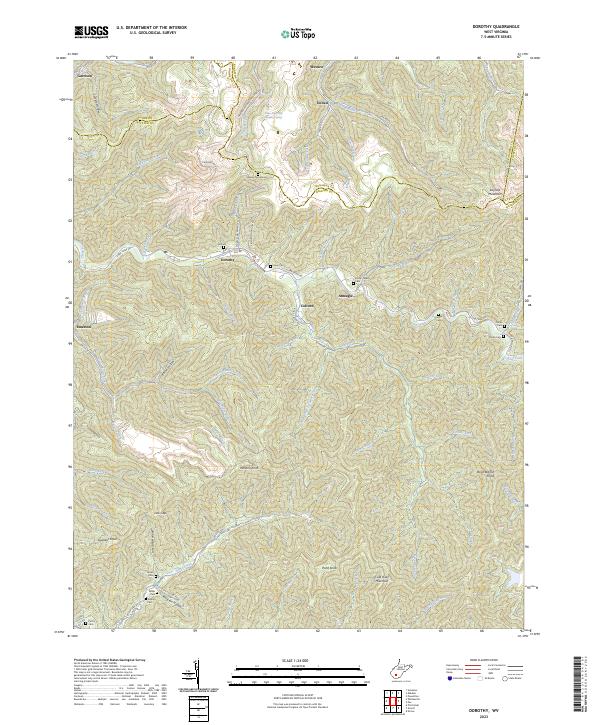
2023 Map of Dorothy
USGS Topo · Published 2023About this map
Dorothy sits at the heart of this landscape where the boundaries of Kanawha, Boone, and Raleigh counties converge. This region of West Virginia is defined by its industrial roots, most notably the Truax-Traer Coal Company Spring and the extensive network of mining roads like Laurel Alma Mining Rd. The terrain is dominated by prominent heights such as Coal River Mountain and Wriston Knob, with deep hollows housing small settlements like Ameagle and Colcord.
Find a feature on this map
88 named features on this map. Tap any name to fly to it.
Don’t see what you’re looking for? This feature index may not catch every label — zoom into the map to look around manually.
Map Details
Editions of this 2023 Dorothy Map
This is the sole edition of this map. No revisions or reprints were ever made.
Other maps of this area

1891 · Oceana
USGS Topo · 1:125,000

1891 · Raleigh
USGS Topo · 1:125,000

1893 · Oceana
USGS Topo · 1:125,000

1897 · Kanawha Falls
USGS Topo · 1:125,000

1897 · Raleigh
USGS Topo · 1:125,000

1898 · Oceana
USGS Topo · 1:125,000

1899 · Charleston
USGS Topo · 1:125,000

1900 · Kanawha Falls
USGS Topo · 1:125,000

1901 · Kanawha Falls
USGS Topo · 1:125,000

1902 · Raleigh
USGS Topo · 1:125,000