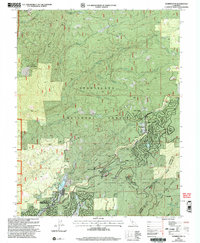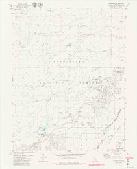
1979 Map of Dorrington
USGS Topo · Published 1979About this map
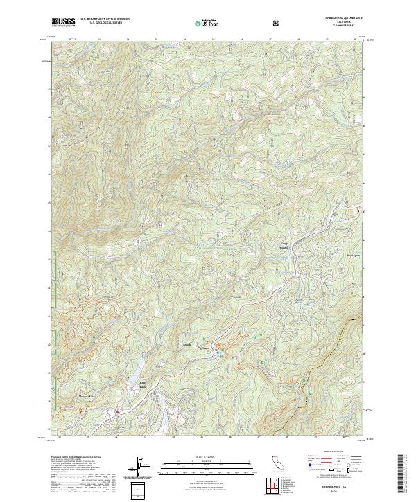
Calaveras Big Trees State Park anchors this Sierra Nevada landscape, where the Big Trees Creek watershed meets the deep canyons of the Mokelumne River. The 1970s development patterns are evident in the growing communities of Arnold and Dorrington, featuring residential layouts such as those along Golf Course Dr. Local industry and institutional history are visible through the Heckendorn Mine to the north and the Menzies Girl Scout Camp near Camp Connell. This survey records a period of transition where timber and mining roots, exemplified by White Pines, began to integrate with recreation and seasonal residences. Notable landmarks like the Dorrington Forest Service Station and the Hazel Fischer Sch provide essential geographic markers for researchers tracing the civic and economic evolution of this portion of Calaveras and Tuolumne counties.
Find a feature on this map
53 named features on this map. Tap any name to fly to it.
Don’t see what you’re looking for? This feature index may not catch every label — zoom into the map to look around manually.
Map Details
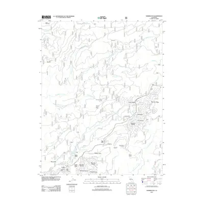
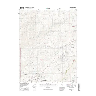
Editions of this 1979 Dorrington Map
3 editions found
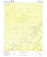
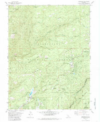
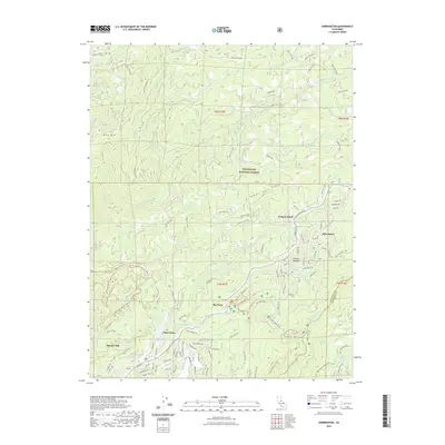
Historical Maps of White Pines Through Time
7 maps found