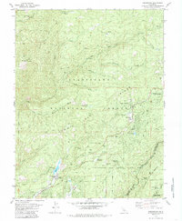
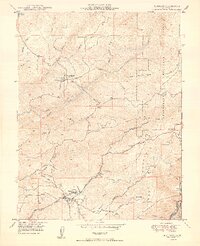
1979 Map of Dorrington
USGS Topo · Published 1985About this map
Calaveras Big Trees State Park and the surrounding Sierra Nevada foothills define this landscape, where the Mokelumne River and its various forks carve deep drainage patterns. The 1970s marked a period of established recreation and small-town growth, centered around Arnold and Dorrington. Local institutional history is visible at the Hazel Fischer Sch and the Dorrington Forest Service Station, while the Heckendorn Mine and various Gravel Pits point to the area's extractive industrial past. The presence of the Menzies Girl Scout Camp and several campgrounds like North Grove Campground highlight the transition toward a tourism-based economy. For genealogists, the Cem near the corner of Arnold Dr provides a specific point of local interest near the growing residential areas.
Find a feature on this map
57 named features on this map. Tap any name to fly to it.
Don’t see what you’re looking for? This feature index may not catch every label — zoom into the map to look around manually.
Map Details
Editions of this 1979 Dorrington Map
3 editions found
Other maps of this area

1891 · Big Trees
USGS Topo · 1:125,000

1894 · Big Trees
USGS Topo · 1:125,000

1897 · Big Trees
USGS Topo · 1:125,000

1901 · Big Trees
USGS Topo · 1:125,000

1947 · Sacramento
USGS Topo · 1:250,000

1948 · Sacramento
USGS Topo · 1:250,000

1948 · Columbia
USGS Topo · 1:62,500
1948 · Murphys
USGS Topo · 1:24,000

1948 · Stanislaus
USGS Topo · 1:24,000
1949 · Murphys
USGS Topo · 1:24,000