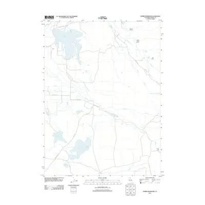
2012 Map of Dorris Reservoir
USGS Topo · Published 2012About this map
Dorris Reservoir dominates the northern landscape of this Modoc County territory, serving as a central catchment for the seasonal flows of Parker Cr. The area is defined by a sophisticated system of water management, evidenced by numerous smaller impoundments including Payne Reservoir, Dannhauser Reservoir, and French Reservoir. These features, alongside the network of county roads like Co Rd 87 and Co Rd 57, reflect a landscape engineered for ranching and resource control in a semi-arid high-country environment.
Find a feature on this map
26 named features on this map. Tap any name to fly to it.
Don’t see what you’re looking for? This feature index may not catch every label — zoom into the map to look around manually.
Map Details
Editions of this 2012 Dorris Reservoir Map
This is the sole edition of this map. No revisions or reprints were ever made.
Other maps of this area

1886 · Alturas
USGS Topo · 1:250,000

1892 · Alturas
USGS Topo · 1:250,000

1954 · Alturas
USGS Topo · 1:250,000

1958 · Alturas
USGS Topo · 1:250,000

1961 · Alturas
USGS Topo · 1:62,500

1962 · Alturas
USGS Topo · 1:250,000

1962 · Davis Creek
USGS Topo · 1:62,500

1962 · Big Sage Reservoir
USGS Topo · 1:62,500

1963 · Little Juniper Reservoir
USGS Topo · 1:24,000

1963 · Shields Creek
USGS Topo · 1:24,000