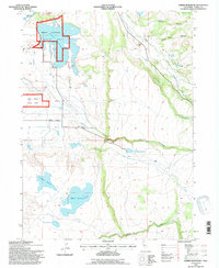
1993 Map of Dorris Reservoir
USGS Topo · Published 1996About this map
The Modoc National Wildlife Refuge dominates the northwestern reaches of this 1993 study, protecting a complex of wetlands and high-plateau waterways. The landscape is defined by its water management systems, notably the namesake Dorris Reservoir and a series of smaller impoundments including Payne Reservoir, Dannhauser Reservoir, and French Reservoir. These features reflect the region's historical reliance on irrigation and water storage for agriculture and conservation in a high-desert environment.
Find a feature on this map
19 named features on this map. Tap any name to fly to it.
Don’t see what you’re looking for? This feature index may not catch every label — zoom into the map to look around manually.
Map Details
Editions of this 1993 Dorris Reservoir Map
This is the sole edition of this map. No revisions or reprints were ever made.
Other maps of this area

1886 · Alturas
USGS Topo · 1:250,000

1892 · Alturas
USGS Topo · 1:250,000

1954 · Alturas
USGS Topo · 1:250,000

1958 · Alturas
USGS Topo · 1:250,000

1961 · Alturas
USGS Topo · 1:62,500

1962 · Alturas
USGS Topo · 1:250,000

1962 · Davis Creek
USGS Topo · 1:62,500

1962 · Big Sage Reservoir
USGS Topo · 1:62,500

1963 · Little Juniper Reservoir
USGS Topo · 1:24,000

1963 · Shields Creek
USGS Topo · 1:24,000