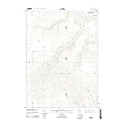
2014 Map of Dorsey
USGS Topo · Published 2014About this map
The Missouri National Recreational River forms the northernmost boundary of this landscape, where the Missouri River carving through the plains defines the northern edge of Nebraska. This rural expanse, straddling the Holt and Knox County line, is marked by a network of drainage creeks and gulches that flow toward the river, including the winding Steel Creek and Red Otter Creek. Historically minded researchers will find the small settlements of Dorsey and Knoxville at the heart of this agricultural community, connected by a grid of rural roads such as 887th Road and 508th Avenue. The presence of Dorsey Cemetery, Star Cemetery, and the National Cemetery along 889 Road offers significant touchpoints for genealogical study. Human impact on the hydrology is evident through local landmarks like Bartos Reservoir and Revell Ponds, which support the high-plains farming economy.
Find a feature on this map
29 named features on this map. Tap any name to fly to it.
Don’t see what you’re looking for? This feature index may not catch every label — zoom into the map to look around manually.
Map Details
Editions of this 2014 Dorsey Map
This is the sole edition of this map. No revisions or reprints were ever made.
Other maps of this area

1950 · Verdel
USGS Topo · 1:24,000

1950 · Dorsey NW
USGS Topo · 1:24,000

1950 · Lynch
USGS Topo · 1:24,000

1950 · Pishelville
USGS Topo · 1:24,000

1950 · Monowi
USGS Topo · 1:24,000

1952 · Monowi
USGS Topo · 1:24,000

1952 · Dorsey
USGS Topo · 1:24,000

1954 · Walnut
USGS Topo · 1:24,000

1954 · Dorsey SW
USGS Topo · 1:24,000

1954 · Star
USGS Topo · 1:24,000