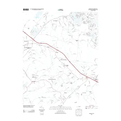
2013 Map of Dorton
USGS Topo · Published 2013About this map
Cumberland Homesteads and Highland View anchor this portion of the Cumberland Plateau, showing the transition from traditional Appalachian settlements to modern residential developments. The area around Crab Orchard and Daddys Creek remains defined by the winding paths of Daddys Creek and Byrd Creek, where topographic features like Horseshoe Bend and Little Horseshoe Bend dictate the local geography. Agriculture continues to play a visible role in the local economy, represented by landmarks such as Rowells Orchards near Otter Creek Junction.
Find a feature on this map
251 named features on this map. Tap any name to fly to it.
Don’t see what you’re looking for? This feature index may not catch every label — zoom into the map to look around manually.
Map Details
Editions of this 2013 Dorton Map
This is the sole edition of this map. No revisions or reprints were ever made.
Other maps of this area

1887 · Kingston
USGS Topo · 1:125,000

1891 · Kingston
USGS Topo · 1:125,000

1892 · Pikeville
USGS Topo · 1:125,000

1893 · Kingston
USGS Topo · 1:125,000

1895 · Wartburg
USGS Topo · 1:125,000

1895 · Pikeville
USGS Topo · 1:125,000

1896 · Wartburg
USGS Topo · 1:125,000

1897 · Standingstone
USGS Topo · 1:125,000

1898 · Standingstone
USGS Topo · 1:125,000

1912 · Crossville
USGS Topo · 1:62,500