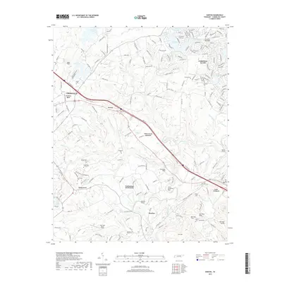
2019 Map of Dorton
USGS Topo · Published 2019About this map
Cumberland Homesteads and the neighboring community of Homestead anchor the central portion of this Cumberland Plateau landscape, reflecting the planned settlement patterns of the Depression era that remain visible in the modern road network. The terrain is defined by the winding course of Daddys Creek, which carves through the sandstone geology to form dramatic features like Horseshoe Bend and Little Horseshoe Bend. To the east, the development of Fairfield Glade shows a shift toward more recent residential and recreational growth around numerous small lakes including Canterbury Lake and Kirkstone Lake.
Find a feature on this map
70 named features on this map. Tap any name to fly to it.
Don’t see what you’re looking for? This feature index may not catch every label — zoom into the map to look around manually.
Map Details
Editions of this 2019 Dorton Map
This is the sole edition of this map. No revisions or reprints were ever made.
Other maps of this area

1887 · Kingston
USGS Topo · 1:125,000

1891 · Kingston
USGS Topo · 1:125,000

1892 · Pikeville
USGS Topo · 1:125,000

1893 · Kingston
USGS Topo · 1:125,000

1895 · Wartburg
USGS Topo · 1:125,000

1895 · Pikeville
USGS Topo · 1:125,000

1896 · Wartburg
USGS Topo · 1:125,000

1897 · Standingstone
USGS Topo · 1:125,000

1898 · Standingstone
USGS Topo · 1:125,000

1912 · Crossville
USGS Topo · 1:62,500