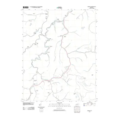
2010 Map of Dorton
USGS Topo · Published 2010About this map
Shelby Creek and its many winding tributaries define the settlement patterns of this Pike County landscape in 2010. The community of Dorton serves as a local hub, anchored by the Dorton Post Office and connected to outlying areas like Myra and Jonancy via a network of hollow-tracing roads. The mapping reveals a high density of family-named landmarks and burial grounds, such as Belcher Cemetery, Sowards Cemetery, and Newsome Memorial Cemetery, which provide essential geographic anchors for genealogical research. Higher elevations are marked by features like Threemile Ridge and Sheep Cliff, while the valleys are subdivided into numerous named hollows including John Greer Hollow and Bratten Hollow. This detailed survey illustrates how modern infrastructure, such as the Caney Hwy, follows the ancient corridors carved by Caney Creek and its branches.
Find a feature on this map
87 named features on this map. Tap any name to fly to it.
Don’t see what you’re looking for? This feature index may not catch every label — zoom into the map to look around manually.
Map Details
Editions of this 2010 Dorton Map
This is the sole edition of this map. No revisions or reprints were ever made.
Other maps of this area

1886 · Grundy
USGS Topo · 1:125,000

1890 · Whitesburg
USGS Topo · 1:125,000

1890 · Grundy
USGS Topo · 1:125,000

1892 · Grundy
USGS Topo · 1:125,000

1892 · Whitesburg
USGS Topo · 1:125,000

1912 · Pound
USGS Topo · 1:48,000

1913 · Clintwood
USGS Topo · 1:62,500

1914 · Pound
USGS Topo · 1:62,500

1914 · Vergie
USGS Topo · 1:48,000

1915 · Clintwood
USGS Topo · 1:62,500