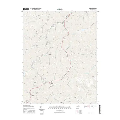
2016 Map of Dorton
USGS Topo · Published 2016About this map
Shelby Creek serves as the central artery for this portion of Pike County, where narrow valley floor settlements like Virgie, Jonancy, and Dorton follow the winding course of the water and the Caney Highway. The landscape is defined by a dense network of hollows and ridges, including Bratten Hollow and Roberts Hollow, illustrating the classic Appalachian residential pattern of homes tucked into branch valleys. Family history is etched into the terrain through numerous small burial sites such as the Newsome Memorial Cem, Greer Cem, and Doc Sanders Cem. Local infrastructure is highly localized, with named routes like Monkey Town Rd and June Fleming Rd providing access to the steep slopes of Threemile Ridge and landmarks like Sheep Cliff. This 2016 survey documents the modern footprint of these coal-country communities and their relationship to the complex drainage systems of Robinson Creek and Caney Creek.
Find a feature on this map
132 named features on this map. Tap any name to fly to it.
Don’t see what you’re looking for? This feature index may not catch every label — zoom into the map to look around manually.
Map Details
Editions of this 2016 Dorton Map
This is the sole edition of this map. No revisions or reprints were ever made.
Other maps of this area
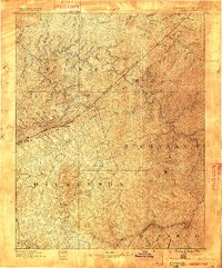
1886 · Grundy
USGS Topo · 1:125,000
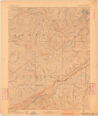
1890 · Whitesburg
USGS Topo · 1:125,000
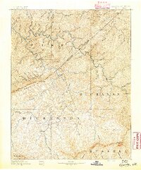
1890 · Grundy
USGS Topo · 1:125,000
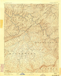
1892 · Grundy
USGS Topo · 1:125,000
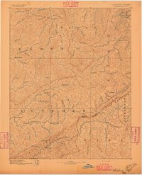
1892 · Whitesburg
USGS Topo · 1:125,000
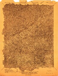
1912 · Pound
USGS Topo · 1:48,000
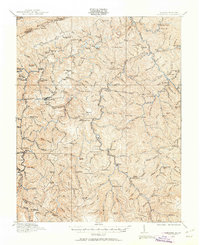
1913 · Clintwood
USGS Topo · 1:62,500
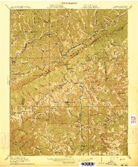
1914 · Pound
USGS Topo · 1:62,500
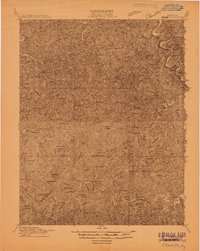
1914 · Vergie
USGS Topo · 1:48,000
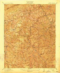
1915 · Clintwood
USGS Topo · 1:62,500