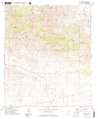
1978 Map of Dos Cabezas
USGS Topo · Published 1978About this map
Dos Cabezas serves as the focal point for this survey of the northern Dos Cabezas Mountains, captured as the area's mining era transitioned into the late 20th century. The map records a landscape heavily marked by mineral exploration, with numerous operations including the Mascot Mine, Gold Prince Mine, and Buckeye Mine scattered throughout the canyons and slopes. The town itself is shown alongside its local Cem, providing valuable data for genealogists tracing families from this Cochise County mining district.
Find a feature on this map
62 named features on this map. Tap any name to fly to it.
Don’t see what you’re looking for? This feature index may not catch every label — zoom into the map to look around manually.
Map Details
Editions of this 1978 Dos Cabezas Map
2 editions found
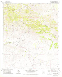
Other maps of this area

1917 · San Simon
USGS Topo · 1:125,000

1922 · Willcox
USGS Topo · 1:125,000

1926 · Cochise Head
USGS Topo · 1:62,500

1928 · Bowie
USGS Topo · 1:62,500

1943 · Dos Cabezas
USGS Topo · 1:62,500

1944 · Fisher Hills
USGS Topo · 1:62,500

1949 · Bowie
USGS Topo · 1:62,500

1950 · Bowie
USGS Topo · 1:62,500

1950 · Cochise Head
USGS Topo · 1:62,500

1954 · Silver City
USGS Topo · 1:250,000