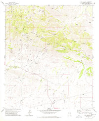
1978 Map of Dos Cabezas
USGS Topo · Published 1978About this map
The Dos Cabezas Mountains define this high-desert landscape, dominated by a history of hard-rock mining and water management. Evidence of the region’s mineral wealth is scattered throughout the peaks, from the Buckeye Mine and Elma Mine in the north to the Mascot Mine and Gold Prince Mine further south. The settlement of Dos Cabezas serves as a primary point of interest for researchers, featuring a Cem and nearby ruins, reflecting the ebb and flow of mining fortunes in Cochise County.
Find a feature on this map
62 named features on this map. Tap any name to fly to it.
Don’t see what you’re looking for? This feature index may not catch every label — zoom into the map to look around manually.
Map Details
Editions of this 1978 Dos Cabezas Map
2 editions found
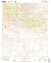
Other maps of this area

1917 · San Simon
USGS Topo · 1:125,000

1922 · Willcox
USGS Topo · 1:125,000

1926 · Cochise Head
USGS Topo · 1:62,500

1928 · Bowie
USGS Topo · 1:62,500

1943 · Dos Cabezas
USGS Topo · 1:62,500

1944 · Fisher Hills
USGS Topo · 1:62,500

1949 · Bowie
USGS Topo · 1:62,500

1950 · Bowie
USGS Topo · 1:62,500

1950 · Cochise Head
USGS Topo · 1:62,500

1954 · Silver City
USGS Topo · 1:250,000