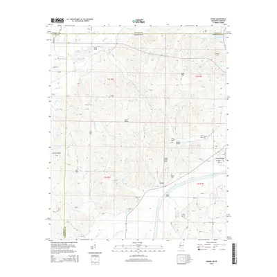
2015 Map of Doskie
USGS Topo · Published 2015About this map
Pine Flat and the small settlement of Doskie define this rural landscape along the Tennessee-Mississippi border in the mid-2010s. The area is marked by a high density of rural cemeteries and family-named landmarks, such as Blackard Cem and Johnson Cem, which speak to the deep genealogical roots of Tishomingo County. The terrain is characterized by numerous hollows and ridges, including Yankee Charlie Ridge and Sorghum Hollow, which direct the flow of small streams like Cohn Br and McMann Br. To the northeast, the map shows the edge of Pickwick Lake, while the interior is crisscrossed by a network of county roads like CR-355 and CR-363. This detailed survey preserves the location of historic gathering places, including Lambs Chapel Cem and Bethel Cem, providing a precise record of the community's footprint between the larger hubs of Alcorn and Hardin counties.
Find a feature on this map
109 named features on this map. Tap any name to fly to it.
Don’t see what you’re looking for? This feature index may not catch every label — zoom into the map to look around manually.
Map Details
Editions of this 2015 Doskie Map
This is the sole edition of this map. No revisions or reprints were ever made.
Other maps of this area

1911 · Iuka
USGS Topo · 1:48,000

1914 · Iuka
USGS Topo · 1:62,500

1935 · Doskie
USGS Topo · 1:24,000

1935 · Iuka
USGS Topo · 1:24,000

1935 · Leedy
USGS Topo · 1:24,000

1935 · Glens
USGS Topo · 1:24,000

1936 · Counce
USGS Topo · 1:24,000

1936 · Kendrick
USGS Topo · 1:24,000

1936 · Shaws
USGS Topo · 1:24,000

1936 · Pickwick
USGS Topo · 1:24,000