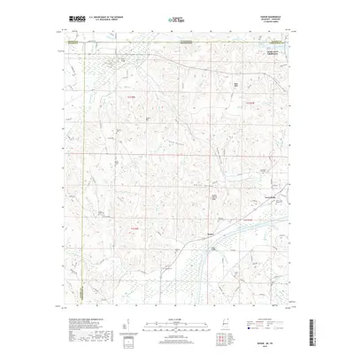
2018 Map of Doskie
USGS Topo · Published 2018About this map
Yellow Creek snakes northward through the borderlands of Alcorn and Tishomingo counties, defining the lower reaches of this Tennessee River valley landscape. Near the Mississippi-Tennessee state line, the widening waters of Pickwick Lake reach into Chalk Hollow, while the Sandy Creek Subdivision marks modern residential development along the shore. The terrain is deeply carved by countless small drainages like McMinn Br and Sevenmile Cr, which separate named elevations such as Scotch Hill and the curiously named Yankee Charlie Ridge.
Find a feature on this map
116 named features on this map. Tap any name to fly to it.
Don’t see what you’re looking for? This feature index may not catch every label — zoom into the map to look around manually.
Map Details
Editions of this 2018 Doskie Map
This is the sole edition of this map. No revisions or reprints were ever made.
Other maps of this area

1911 · Iuka
USGS Topo · 1:48,000

1914 · Iuka
USGS Topo · 1:62,500

1935 · Doskie
USGS Topo · 1:24,000

1935 · Iuka
USGS Topo · 1:24,000

1935 · Leedy
USGS Topo · 1:24,000

1935 · Glens
USGS Topo · 1:24,000

1936 · Counce
USGS Topo · 1:24,000

1936 · Kendrick
USGS Topo · 1:24,000

1936 · Shaws
USGS Topo · 1:24,000

1936 · Pickwick
USGS Topo · 1:24,000