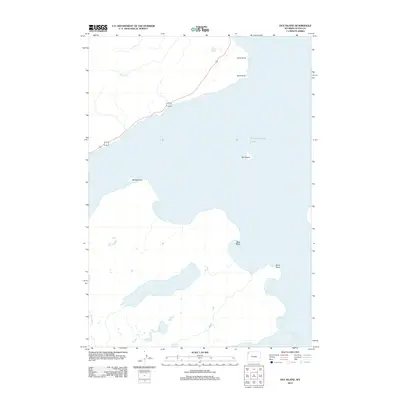
2012 Map of Dot Island
USGS Topo · Published 2012About this map
Yellowstone Lake dominates this landscape, its expansive shoreline defined by numerous named promontories and inlets. The shoreline of the West Thumb area includes distinctive features such as Breeze Point, Wolf Point, and Snipe Point, while the northern coast is marked by Sand Point and Rock Point. Offshore, the isolated Dot Island sits centrally within the lake's waters. Inland from the main body of water, Delusion Lake remains a prominent landlocked feature, while local drainage is managed by small tributaries like Weasel Cr and Solution Cr. This geography reflects a natural landscape largely undisturbed by dense development, though the presence of highway 20 and routes 14 16 suggests the established infrastructure for access to these remote points of interest.
Find a feature on this map
11 named features on this map. Tap any name to fly to it.
Don’t see what you’re looking for? This feature index may not catch every label — zoom into the map to look around manually.
Map Details
Editions of this 2012 Dot Island Map
This is the sole edition of this map. No revisions or reprints were ever made.
Other maps of this area

1885 · Lake
USGS Topo · 1:125,000

1885 · Gallatin
USGS Topo · 1:125,000

1885 · Gallatin
USGS Topo · 1:125,000

1886 · Shoshone
USGS Topo · 1:125,000

1886 · Canyon
USGS Topo · 1:125,000

1888 · Shoshone
USGS Topo · 1:125,000

1895 · Shoshone
USGS Topo · 1:125,000

1895 · Canyon
USGS Topo · 1:125,000

1895 · Lake
USGS Topo · 1:125,000

1896 · Lake
USGS Topo · 1:125,000