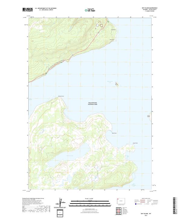
2021 Map of Dot Island
USGS Topo · Published 2021About this map
Yellowstone Lake dominates this 2021 topographic survey, showcasing the intricate shoreline and island geography within Yellowstone National Park. The map details the central portion of the lake, featuring the eponymous Dot Island and the larger Frank Island to the east. Along the western and southern banks, the terrain is marked by a series of prominent landforms including Breeze Point, Wolf Point, and Snipe Point, which define the sheltered waters of Eagle Bay.
Find a feature on this map
19 named features on this map. Tap any name to fly to it.
Don’t see what you’re looking for? This feature index may not catch every label — zoom into the map to look around manually.
Map Details
Editions of this 2021 Dot Island Map
This is the sole edition of this map. No revisions or reprints were ever made.
Other maps of this area

1885 · Lake
USGS Topo · 1:125,000

1885 · Gallatin
USGS Topo · 1:125,000

1885 · Gallatin
USGS Topo · 1:125,000

1886 · Shoshone
USGS Topo · 1:125,000

1886 · Canyon
USGS Topo · 1:125,000

1888 · Shoshone
USGS Topo · 1:125,000

1895 · Shoshone
USGS Topo · 1:125,000

1895 · Canyon
USGS Topo · 1:125,000

1895 · Lake
USGS Topo · 1:125,000

1896 · Lake
USGS Topo · 1:125,000