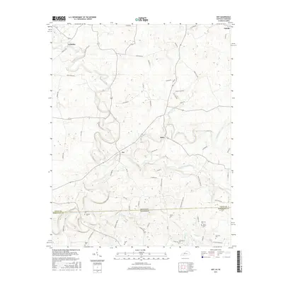
2016 Map of Dot
USGS Topo · Published 2016About this map
The Red River and Whippoorwill Creek converge near the rural settlement of Dot, highlighting a landscape defined by the drainage patterns of the Kentucky-Tennessee border. This survey documents the transition from the rolling uplands of Logan County, Kentucky, into Robertson County, Tennessee, marked clearly by the Kentucky Tennessee state line and the coincident Dot-Tenn State Line RD. The area is characterized by small, dispersed communities like Lickskillet, Schley, and Oakville, connected by a network of local routes including Lickskillet RD and Bailey-Banton RD.
Find a feature on this map
68 named features on this map. Tap any name to fly to it.
Don’t see what you’re looking for? This feature index may not catch every label — zoom into the map to look around manually.
Map Details
Editions of this 2016 Dot Map
This is the sole edition of this map. No revisions or reprints were ever made.
Other maps of this area

1950 · Allensville
USGS Topo · 1:24,000

1950 · Olmstead
USGS Topo · 1:24,000

1951 · Olmstead
USGS Topo · 1:24,000

1951 · Adairville
USGS Topo · 1:24,000

1951 · Dot
USGS Topo · 1:24,000

1952 · Russellville
USGS Topo · 1:24,000

1952 · Springfield North
USGS Topo · 1:24,000

1952 · Youngville
USGS Topo · 1:24,000

1952 · Dennis
USGS Topo · 1:24,000

1956 · Nashville
USGS Topo · 1:250,000