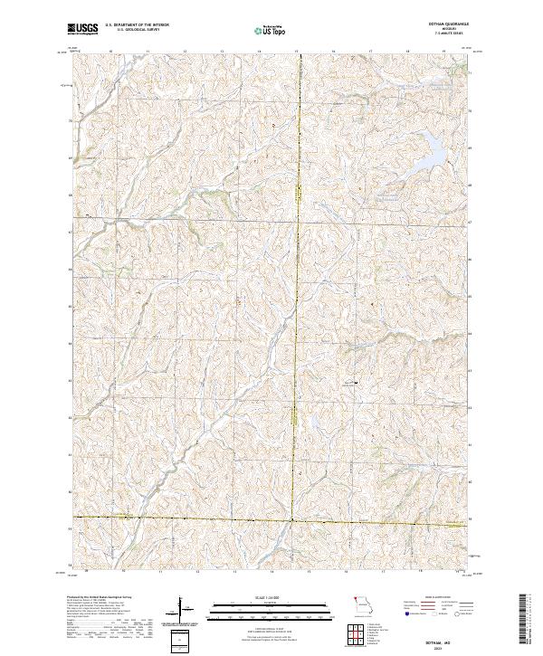
2023 Map of Dotham
USGS Topo · Published 2023About this map
Burr Oak Church Cem stands as a focal point near the convergence of three counties in this rural northwest Missouri landscape. The terrain is defined by a dense network of drainage, where Minnesota Valley Creek and its Middle Branch carve through the countryside alongside Burr Oak Creek and Hickory Creek. This modern survey illustrates the persistent agricultural character of the region, anchored by the Patterson Farms Lake Section 23 and Patterson Farms Lake Section 12. The map details the intricate boundary lines where Atchison, Nodaway, and Holt counties meet, navigated by a grid of rural routes such as State Hwy HH and Nodaway Atchison Rd. It remains a quiet landscape of section-line roads and creek-fed valleys, reflecting the deep-rooted farming tradition of the Missouri prairie.
Find a feature on this map
41 named features on this map. Tap any name to fly to it.
Don’t see what you’re looking for? This feature index may not catch every label — zoom into the map to look around manually.
Map Details
Editions of this 2023 Dotham Map
This is the sole edition of this map. No revisions or reprints were ever made.
Other maps of this area

1920 · Craig
USGS Topo · 1:62,500

1926 · Maitland
USGS Topo · 1:62,500

1939 · Tarkio
USGS Topo · 1:62,500

1939 · Skidmore
USGS Topo · 1:62,500

1940 · Tarkio
USGS Topo · 1:62,500

1941 · Tarkio
USGS Topo · 1:62,500

1941 · Skidmore
USGS Topo · 1:62,500

1942 · Skidmore
USGS Topo · 1:62,500

1955 · Nebraska City
USGS Topo · 1:250,000

1957 · Nebraska City
USGS Topo · 1:250,000