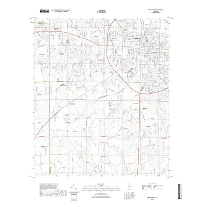
2018 Map of Dothan West
USGS Topo · Published 2018About this map
Dothan and its southwestern suburbs occupy the upper portion of this survey, where residential developments like Green Acres and Barrett expand into the surrounding Wiregrass countryside. The landscape is defined by the headwaters of several drainages, including the Little Choctawhatchee River in the north and the southern flow of Chipola Cr and Big Cr. These watercourses create a dissected terrain marked by numerous small impoundments such as Lochenglen Lake, Adams Lake, and Middleton Lake.
Find a feature on this map
324 named features on this map. Tap any name to fly to it.
Don’t see what you’re looking for? This feature index may not catch every label — zoom into the map to look around manually.
Map Details
Editions of this 2018 Dothan West Map
This is the sole edition of this map. No revisions or reprints were ever made.
Other maps of this area

1942 · Enterprise
USGS Topo · 1:125,000

1948 · Ozark
USGS Topo · 1:62,500

1950 · Ozark
USGS Topo · 1:62,500

1953 · Dothan
USGS Topo · 1:250,000

1954 · Dothan
USGS Topo · 1:250,000

1955 · Dothan
USGS Topo · 1:250,000

1957 · Malvern
USGS Topo · 1:24,000

1957 · Hartford
USGS Topo · 1:62,500
1957 · Slocomb
USGS Topo · 1:24,000

1960 · Pinckard
USGS Topo · 1:24,000