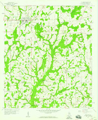
1957 Map of Slocomb
USGS Topo · Published 1959About this map
The town of Slocomb anchors the northwestern corner of this mid-century survey, revealing the agricultural and social layout of Geneva County before the expansion of modern infrastructure. The landscape is defined by an intricate network of drainage, where Wrights Creek and its many tributaries like Davis Mill Creek and Log Pine Branch carve through the terrain. This map is particularly valuable for genealogical research, documenting a high density of rural congregation points such as Christian Home Ch, County Line Ch, and New Hinson Ch. At the intersection of local roads and waterways, the settlement of Fadette appears alongside smaller landmarks like the Drive-in Theater and Martin Cem. The arrangement of these churches and schools relative to the winding creeks illustrates how water and religion shaped the community boundaries of southern Alabama during this era.
Find a feature on this map
36 named features on this map. Tap any name to fly to it.
Don’t see what you’re looking for? This feature index may not catch every label — zoom into the map to look around manually.
Map Details
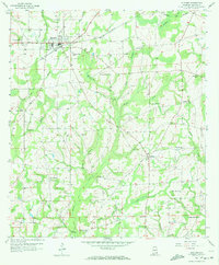
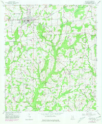
Editions of this 1957 Slocomb Map
3 editions found
Other maps of this area

1942 · Enterprise
USGS Topo · 1:125,000

1950 · Esto
USGS Topo · 1:24,000

1951 · Graceville
USGS Topo · 1:24,000

1951 · Esto
USGS Topo · 1:24,000

1952 · Campbellton
USGS Topo · 1:24,000

1953 · Dothan
USGS Topo · 1:250,000

1954 · Dothan
USGS Topo · 1:250,000

1954 · Tallahassee
USGS Topo · 1:250,000

1955 · Dothan
USGS Topo · 1:250,000

1957 · Malvern
USGS Topo · 1:24,000