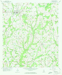
1957 Map of Slocomb
USGS Topo · Published 1972About this map
Slocomb serves as the primary hub in this late-1950s landscape, where the town's grid is defined by its connection to Hartford and Slocomb rail line and a prominent substation. The surrounding countryside of Geneva and Houston Counties reveals a dense network of rural community life centered on family-named landmarks and parish grounds. Numerous sites like Christian Home Ch and Bethesda Ch appear alongside their respective cemeteries, anchoring the small-scale farming tracts. A diverse drainage system of small waterways, including Davis Mill Creek, Wrights Creek, and Holmes Creek, carves through the terrain, dictating the placement of secondary roads and remote settlements like Fadette. Cultural markers of the era are also visible, most notably a Drive-in Theater located just west of the main town center, illustrating the mid-century expansion of local commerce and entertainment.
Find a feature on this map
47 named features on this map. Tap any name to fly to it.
Don’t see what you’re looking for? This feature index may not catch every label — zoom into the map to look around manually.
Map Details
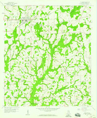
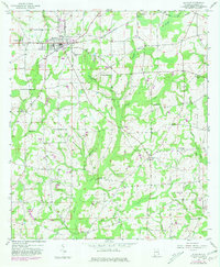
Editions of this 1957 Slocomb Map
3 editions found
Other maps of this area

1942 · Enterprise
USGS Topo · 1:125,000

1950 · Esto
USGS Topo · 1:24,000

1951 · Graceville
USGS Topo · 1:24,000

1951 · Esto
USGS Topo · 1:24,000

1952 · Campbellton
USGS Topo · 1:24,000

1953 · Dothan
USGS Topo · 1:250,000

1954 · Dothan
USGS Topo · 1:250,000

1954 · Tallahassee
USGS Topo · 1:250,000

1955 · Dothan
USGS Topo · 1:250,000

1957 · Malvern
USGS Topo · 1:24,000