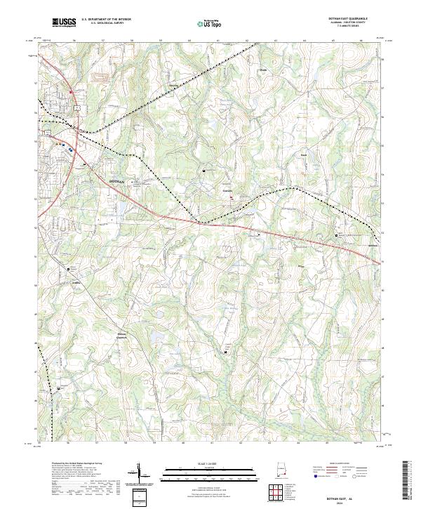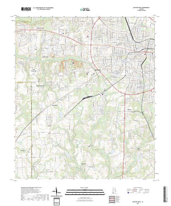
2024 Map of Dothan West
USGS Topo · Published 2024About this map
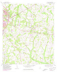
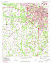
Dothan and its southwestern reaches are documented here, anchored by the Houston County Courthouse in the downtown sector. The urban grid quickly gives way to a network of established residential neighborhoods and outlying agricultural settlements including Green Acres, Barrett, and Mullins. This area of Houston County is characterized by numerous family-named crossroads and historic community centers such as Jones Crossroads and Clark Crossroads, reflecting a long-standing pattern of rural development.
Find a feature on this map
136 named features on this map. Tap any name to fly to it.
Don’t see what you’re looking for? This feature index may not catch every label — zoom into the map to look around manually.
Map Details
Editions of this 2024 Dothan West Map
This is the sole edition of this map. No revisions or reprints were ever made.
Historical Maps of Memphis Through Time
8 maps found