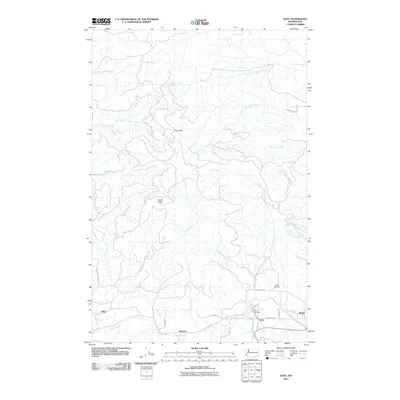
2011 Map of Doty
USGS Topo · Published 2011About this map
The Chehalis River valley serves as the primary corridor for settlement in this part of Lewis County, where the communities of Doty and Dryad are situated. This area is characterized by the convergence of several major watercourses, including Elk Creek and Dunn Creek, which drain the surrounding timberlands. The landscape transitions from the river lowlands into the prominent Doty Hills and the high point of Bucks Knob, reflecting the region's topography before it rises into the more remote forested tracts to the north and west.
Find a feature on this map
35 named features on this map. Tap any name to fly to it.
Don’t see what you’re looking for? This feature index may not catch every label — zoom into the map to look around manually.
Map Details
Editions of this 2011 Doty Map
This is the sole edition of this map. No revisions or reprints were ever made.
Other maps of this area

1941 · Walville
USGS Topo · 1:62,500

1941 · Meskill
USGS Topo · 1:62,500

1941 · Gate
USGS Topo · 1:62,500

1941 · Ford
USGS Topo · 1:62,500

1953 · Hoquiam
USGS Topo · 1:250,000

1953 · Rochester
USGS Topo · 1:62,500

1953 · Pe Ell
USGS Topo · 1:62,500

1953 · Malone
USGS Topo · 1:62,500

1953 · Adna
USGS Topo · 1:62,500

1957 · Hoquiam
USGS Topo · 1:250,000