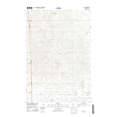
2014 Map of Doty
USGS Topo · Published 2014About this map
Doty and Dryad sit along the corridor of the Chehalis River in Lewis County, marking a transitional landscape where the river valley meets the elevated timberlands of the Doty Hills. This 2014 survey documents the enduring layout of these rural communities, connected by Wa-6 and Doty Dryad RD as they follow the natural bend of the water. The map traces a complex network of drainage basins, including the headwaters of the Fall River, N Fork Lincoln Cr, and S Fork Lincoln Cr, which carve through the high ground punctuated by Bucks Knob. Local history is anchored by the Sylvan Cem and the settlement of Murnen to the south. The presence of numerous forest access roads and creek-side routes like Elk Creek RD reflects the region's continued reliance on its hydraulic and timber geography.
Find a feature on this map
47 named features on this map. Tap any name to fly to it.
Don’t see what you’re looking for? This feature index may not catch every label — zoom into the map to look around manually.
Map Details
Editions of this 2014 Doty Map
This is the sole edition of this map. No revisions or reprints were ever made.
Other maps of this area

1941 · Walville
USGS Topo · 1:62,500

1941 · Meskill
USGS Topo · 1:62,500

1941 · Gate
USGS Topo · 1:62,500

1941 · Ford
USGS Topo · 1:62,500

1953 · Hoquiam
USGS Topo · 1:250,000

1953 · Rochester
USGS Topo · 1:62,500

1953 · Pe Ell
USGS Topo · 1:62,500

1953 · Malone
USGS Topo · 1:62,500

1953 · Adna
USGS Topo · 1:62,500

1957 · Hoquiam
USGS Topo · 1:250,000