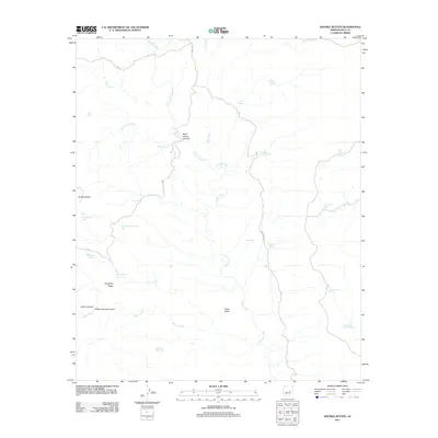
2011 Map of Double Buttes
USGS Topo · Published 2011About this map
Canyon Creek and its many tributaries carve through this section of the Arizona landscape, creating a complex drainage system dominated by Rock House Canyon and Willow Spring Canyon. The presence of numerous water sources, including Wild Nut Spring, Whitetail Spring, and Number Twenty-six Spring, underscores the critical importance of reliable water in this arid environment. The terrain is further defined by prominent landmarks such as Double Buttes, Indian Butte, and Keystone Ridge. Human impact is visible through a network of remote access routes like Indian Rte-30 and FR 127, alongside several livestock water features such as Duck Walk Tank and Mustang Ridge Tank.
Find a feature on this map
31 named features on this map. Tap any name to fly to it.
Don’t see what you’re looking for? This feature index may not catch every label — zoom into the map to look around manually.
Map Details
Editions of this 2011 Double Buttes Map
This is the sole edition of this map. No revisions or reprints were ever made.
Other maps of this area

1886 · Holbrook
USGS Topo · 1:250,000

1893 · Holbrook
USGS Topo · 1:250,000

1922 · Chrysotile
USGS Topo · 1:125,000

1946 · Blue House Mtn
USGS Topo · 1:62,500

1949 · McFadden Peak
USGS Topo · 1:62,500

1950 · McFadden Peak
USGS Topo · 1:62,500

1951 · Blue House Mtn
USGS Topo · 1:62,500

1954 · Holbrook
USGS Topo · 1:250,000

1954 · Mesa
USGS Topo · 1:250,000

1957 · Mesa
USGS Topo · 1:250,000