
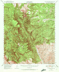
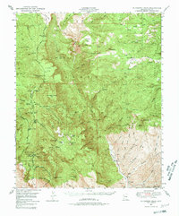
1949 Map of McFadden Peak
USGS Topo · Published 1955About this map
McFadden Pk and the high ridges of the Tonto National Forest dominate this landscape, revealing a remote territory defined by early ranching, mining, and forestry research. The map illustrates a network of scattered homesteads and specialized outposts like the P B Ranch and Rock House Ranch, alongside the Parker Creek Experiment Sta. These sites, connected by the Young Highway, reflect the mid-century transition of central Arizona from an isolated frontier to a managed forest resource area.
Find a feature on this map
102 named features on this map. Tap any name to fly to it.
Don’t see what you’re looking for? This feature index may not catch every label — zoom into the map to look around manually.
Map Details
Editions of this 1949 McFadden Peak Map
3 editions found
Other maps of this area

1886 · Holbrook
USGS Topo · 1:250,000

1887 · Verde
USGS Topo · 1:250,000

1892 · Verde
USGS Topo · 1:250,000

1893 · Holbrook
USGS Topo · 1:250,000

1907 · Roosevelt
USGS Topo · 1:125,000

1909 · Four Peaks
USGS Topo · 1:125,000

1912 · Roosevelt
USGS Topo · 1:125,000

1922 · Chrysotile
USGS Topo · 1:125,000

1937 · Diamond Butte
USGS Topo · 1:48,000

1943 · Diamond Butte
USGS Topo · 1:62,500