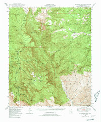
1949 Map of McFadden Peak
USGS Topo · Published 1980About this map
Tonto National Forest lands dominate this mid-century survey, revealing a landscape defined by ranching, mining, and scientific forestry. The rugged interior is punctuated by established outposts like Tanner Ranch, Circle Ranch, and Murphy Ranch, while the Lucky Strike Mine and Pueblo Mine signify the area's mineral prospects. A specialized presence is found at the Parker Creek Experiment Sta, situated within the Sierra Ancha Experimental Forest.
Find a feature on this map
103 named features on this map. Tap any name to fly to it.
Don’t see what you’re looking for? This feature index may not catch every label — zoom into the map to look around manually.
Map Details
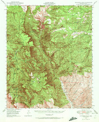
Editions of this 1949 McFadden Peak Map
3 editions found

Other maps of this area

1886 · Holbrook
USGS Topo · 1:250,000

1887 · Verde
USGS Topo · 1:250,000

1892 · Verde
USGS Topo · 1:250,000

1893 · Holbrook
USGS Topo · 1:250,000

1907 · Roosevelt
USGS Topo · 1:125,000

1909 · Four Peaks
USGS Topo · 1:125,000

1912 · Roosevelt
USGS Topo · 1:125,000

1922 · Chrysotile
USGS Topo · 1:125,000

1937 · Diamond Butte
USGS Topo · 1:48,000

1943 · Diamond Butte
USGS Topo · 1:62,500