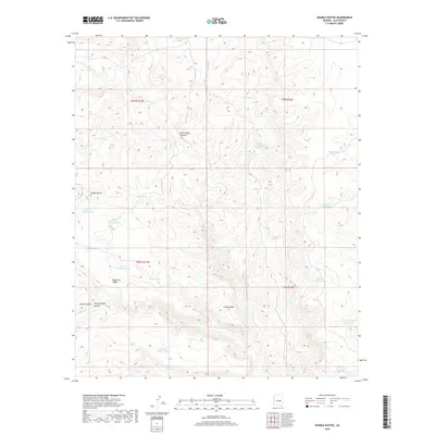
2018 Map of Double Buttes
USGS Topo · Published 2018About this map
Double Buttes and Indian Butte anchor this high-elevation terrain in Gila County, where the landscape is defined by deep drainage systems and essential water catchments. The intricate network of canyons, including Rock House Canyon and Horse Canyon, flows toward major watercourses like Canyon Cr and Sloan Cr. This modern survey reveals a rugged ranching and wilderness character, marked by numerous named tanks such as Mustang Ridge Tank and Cottontail Tank that support livestock and wildlife in the arid environment.
Find a feature on this map
32 named features on this map. Tap any name to fly to it.
Don’t see what you’re looking for? This feature index may not catch every label — zoom into the map to look around manually.
Map Details
Editions of this 2018 Double Buttes Map
This is the sole edition of this map. No revisions or reprints were ever made.
Other maps of this area

1886 · Holbrook
USGS Topo · 1:250,000

1893 · Holbrook
USGS Topo · 1:250,000

1922 · Chrysotile
USGS Topo · 1:125,000

1946 · Blue House Mtn
USGS Topo · 1:62,500

1949 · McFadden Peak
USGS Topo · 1:62,500

1950 · McFadden Peak
USGS Topo · 1:62,500

1951 · Blue House Mtn
USGS Topo · 1:62,500

1954 · Holbrook
USGS Topo · 1:250,000

1954 · Mesa
USGS Topo · 1:250,000

1957 · Mesa
USGS Topo · 1:250,000