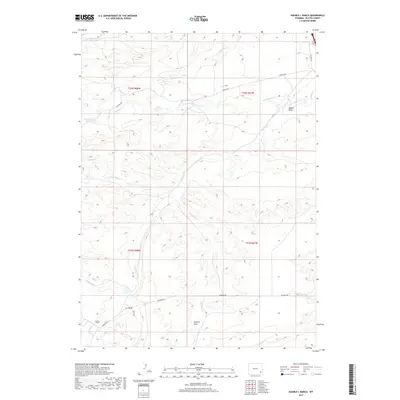
2017 Map of Double L Ranch
USGS Topo · Published 2017About this map
Double L Ranch and its surrounding rangeland define this section of Platte County, where a network of seasonal watercourses and drainage draws shapes the high plains landscape. The drainage system is dominated by the branches of Richeau Cr, including N Richeau Cr and S Richeau Cr, which feed into the local water management system. Man-made water features such as the Robert Grant Reservoir and Grant Reservoir highlight the area's agricultural and ranching priorities in the early 21st century.
Find a feature on this map
21 named features on this map. Tap any name to fly to it.
Don’t see what you’re looking for? This feature index may not catch every label — zoom into the map to look around manually.
Map Details
Editions of this 2017 Double L Ranch Map
This is the sole edition of this map. No revisions or reprints were ever made.
Other maps of this area

1953 · Double L Ranch
USGS Topo · 1:24,000

1953 · Chugwater
USGS Topo · 1:24,000

1953 · Natwick
USGS Topo · 1:24,000

1953 · Ferguson Corner
USGS Topo · 1:24,000

1953 · Bordeaux
USGS Topo · 1:24,000

1953 · Richeau Hills
USGS Topo · 1:24,000

1954 · Cheyenne
USGS Topo · 1:250,000

1958 · Cheyenne
USGS Topo · 1:250,000

1962 · Mc Donald Ranch
USGS Topo · 1:24,000

1962 · Bristol Ridge NE
USGS Topo · 1:24,000