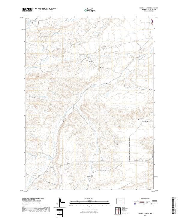
2021 Map of Double L Ranch
USGS Topo · Published 2021About this map
Double L Ranch serves as a central landmark in this high-plains landscape of Platte County, where ranching interests are defined by the winding network of the Richeau Cr drainage. Water management is critical in this environment, as evidenced by the Robert Grant Reservoir and Grant Reservoir, which capture runoff from the N Richeau Cr and S Hunton Cr. The terrain is characterized by a series of significant erosional features such as Walker Draw, L L Draw, and Stewart Draw, which dictate the placement of local thoroughfares like Richeau Rd and Diamond Rd. The presence of Old Hwy 87 in the northeast corner provides a link to older transit corridors through this part of Wyoming, while the intersection of various creeks including Scotch Cr and Tepee Ring Cr illustrates the complex hydrology that supports the region's livestock operations.
Find a feature on this map
22 named features on this map. Tap any name to fly to it.
Don’t see what you’re looking for? This feature index may not catch every label — zoom into the map to look around manually.
Map Details
Editions of this 2021 Double L Ranch Map
This is the sole edition of this map. No revisions or reprints were ever made.
Other maps of this area

1953 · Double L Ranch
USGS Topo · 1:24,000

1953 · Chugwater
USGS Topo · 1:24,000

1953 · Natwick
USGS Topo · 1:24,000

1953 · Ferguson Corner
USGS Topo · 1:24,000

1953 · Bordeaux
USGS Topo · 1:24,000

1953 · Richeau Hills
USGS Topo · 1:24,000

1954 · Cheyenne
USGS Topo · 1:250,000

1958 · Cheyenne
USGS Topo · 1:250,000

1962 · Mc Donald Ranch
USGS Topo · 1:24,000

1962 · Bristol Ridge NE
USGS Topo · 1:24,000