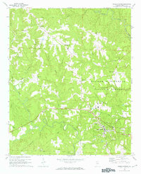
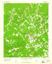
1969 Map of Double Springs
USGS Topo · Published 1972About this map
The William B Bankhead National Forest covers much of this landscape in the late 1960s, a period when rural Winston County remained defined by small crossroad settlements and family-named landmarks. The county seat at Double Springs sits at the junction of the area's primary roads, featuring a local Filtration Plant and Water Tank that speak to the town's role as a regional hub. North of the town, the community of Pleasant Hill and the settlement at Ashridge are interconnected by a network of unimproved roads that trace the winding ridges.
Find a feature on this map
27 named features on this map. Tap any name to fly to it.
Don’t see what you’re looking for? This feature index may not catch every label — zoom into the map to look around manually.
Map Details
Editions of this 1969 Double Springs Map
2 editions found
Other maps of this area

1936 · Delmar
USGS Topo · 1:24,000

1936 · Kinlock Spring
USGS Topo · 1:24,000

1936 · Moulton
USGS Topo · 1:48,000

1940 · Mt Hope
USGS Topo · 1:62,500

1947 · Kinlock Spring
USGS Topo · 1:24,000
1949 · Kinlock Spring
USGS Topo · 1:24,000

1956 · Gadsden
USGS Topo · 1:250,000

1958 · Gadsden
USGS Topo · 1:250,000
1958 · Haleyville East
USGS Topo · 1:24,000
1958 · Lynn
USGS Topo · 1:24,000