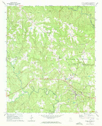
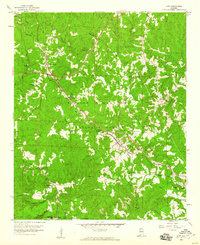
1969 Map of Double Springs
USGS Topo · Published 1972About this map
Double Springs serves as the focal point for this late-1960s survey of Winston County, situated where the ridge-top roads descend toward the deep drainages of the William B Bankhead National Forest. The landscape is defined by its complex hydrology, with the Sipsey Fork and Clear Creek winding through heavily dissected terrain. This era shows a settled rural pattern of small community hubs like Ashridge and Pleasant Hill, often anchored by local places of worship such as Liberty Grove Ch and Antioch Ch.
Find a feature on this map
37 named features on this map. Tap any name to fly to it.
Don’t see what you’re looking for? This feature index may not catch every label — zoom into the map to look around manually.
Map Details
Editions of this 1969 Double Springs Map
2 editions found
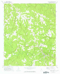
Other maps of this area

1936 · Delmar
USGS Topo · 1:24,000

1936 · Kinlock Spring
USGS Topo · 1:24,000

1936 · Moulton
USGS Topo · 1:48,000

1940 · Mt Hope
USGS Topo · 1:62,500

1947 · Kinlock Spring
USGS Topo · 1:24,000
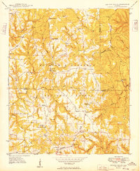
1949 · Kinlock Spring
USGS Topo · 1:24,000

1956 · Gadsden
USGS Topo · 1:250,000

1958 · Gadsden
USGS Topo · 1:250,000
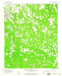
1958 · Haleyville East
USGS Topo · 1:24,000
1958 · Lynn
USGS Topo · 1:24,000