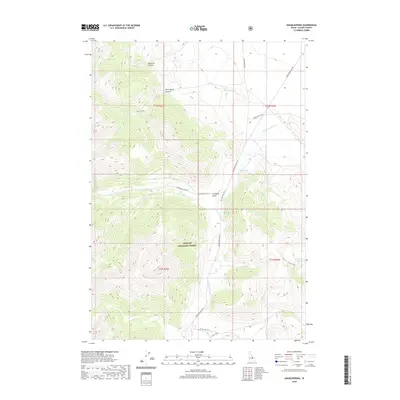
2020 Map of Doublespring
USGS Topo · Published 2020About this map
Challis National Forest dominates this Custer County landscape, where the high-altitude terrain of central Idaho is defined by steep drainages and isolated water sources. The map follows the critical corridor of Doublespring Pass Rd as it climbs through the mountains, providing access to remote points like Christian Gulch and the headwaters of Doublespring Cr. These routes and seasonal tracks, such as Donkey Hills Rd, reflect the historic and ongoing importance of forest management and ranching access in this portion of the Lost River Range area.
Find a feature on this map
22 named features on this map. Tap any name to fly to it.
Don’t see what you’re looking for? This feature index may not catch every label — zoom into the map to look around manually.
Map Details
Editions of this 2020 Doublespring Map
This is the sole edition of this map. No revisions or reprints were ever made.
Other maps of this area

1935 · Borah Peak
USGS Topo · 1:125,000

1938 · Borah Peak
USGS Topo · 1:125,000

1955 · Dubois
USGS Topo · 1:250,000

1956 · Donkey Hills
USGS Topo · 1:62,500

1956 · Doublespring
USGS Topo · 1:62,500

1958 · Dubois
USGS Topo · 1:250,000
1967 · Burnt Creek
USGS Topo · 1:24,000
1967 · Borah Peak
USGS Topo · 1:24,000
1967 · Dickey Peak
USGS Topo · 1:24,000
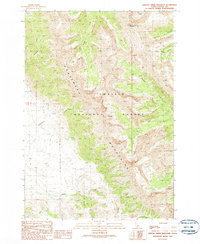
1989 · Grouse Creek Mountain
USGS Topo · 1:24,000