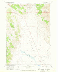
1967 Map of Dickey Peak
USGS Topo · Published 1971About this map
Thousand Springs Valley defines the central geography of this mid-century survey, showing a landscape defined by water management and high-altitude ranching. The small settlement of Dickey serves as a focal point in the valley, surrounded by a network of water infrastructure including multiple Water Tanks and a Well. The map illustrates the hydrological importance of the region, featuring several water sources such as Scratching Post Spring, Poison Spring, and Thousand Springs, which feed into Thousand Springs Creek.
Find a feature on this map
22 named features on this map. Tap any name to fly to it.
Don’t see what you’re looking for? This feature index may not catch every label — zoom into the map to look around manually.
Map Details
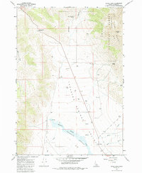
Editions of this 1967 Dickey Peak Map
2 editions found
Other maps of this area

1929 · Bayhorse
USGS Topo · 1:125,000

1935 · Borah Peak
USGS Topo · 1:125,000

1938 · Borah Peak
USGS Topo · 1:125,000

1955 · Dubois
USGS Topo · 1:250,000

1956 · Doublespring
USGS Topo · 1:62,500

1957 · Challis
USGS Topo · 1:250,000

1958 · Dubois
USGS Topo · 1:250,000

1960 · Challis
USGS Topo · 1:250,000

1963 · Challis
USGS Topo · 1:250,000

1963 · Lone Pine Peak
USGS Topo · 1:62,500