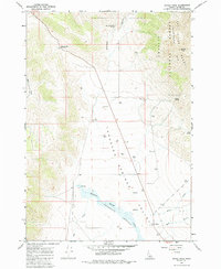
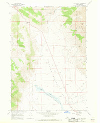
1967 Map of Dickey Peak
USGS Topo · Published 1986About this map
Thousand Springs Valley dominates this high-altitude landscape of central Idaho, where the Lost River Range meets the expansive valley floor. The small settlement of Dickey serves as a lone hub in this ranching and wilderness area, situated near the confluence of Willow Creek and Rock Creek. Steep drainages like Arentson Gulch and Dry Gulch define the western slopes, while the eastern horizon is anchored by the prominent Dickey Peak within the Challis National Forest. The map documents a critical hydrology for this arid region, showing numerous water sources such as Poison Spring, Scratching Post Spring, and the namesake Thousand Springs feeding into Thousand Springs Creek. The presence of several Water Tanks along the valley roads indicates the managed land use and livestock operations essential to the area's mid-century economy.
Find a feature on this map
21 named features on this map. Tap any name to fly to it.
Don’t see what you’re looking for? This feature index may not catch every label — zoom into the map to look around manually.
Map Details
Editions of this 1967 Dickey Peak Map
2 editions found
Other maps of this area

1929 · Bayhorse
USGS Topo · 1:125,000

1935 · Borah Peak
USGS Topo · 1:125,000

1938 · Borah Peak
USGS Topo · 1:125,000

1955 · Dubois
USGS Topo · 1:250,000

1956 · Doublespring
USGS Topo · 1:62,500

1957 · Challis
USGS Topo · 1:250,000

1958 · Dubois
USGS Topo · 1:250,000

1960 · Challis
USGS Topo · 1:250,000

1963 · Challis
USGS Topo · 1:250,000

1963 · Lone Pine Peak
USGS Topo · 1:62,500