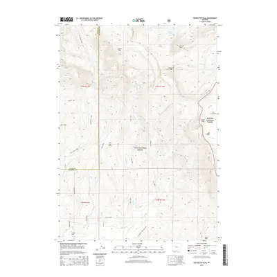
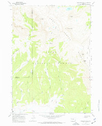
2015 Map of Doubletop Peak
USGS Topo · Published 2015About this map
Doubletop Peak rises as the central landmark of this high-elevation mountain terrain where the boundaries of Teton County and Sublette County meet. The landscape is defined by the headwaters of numerous drainages within the Teton National Forest and Bridger National Forest, including Upper Shoal Creek and the western branches of Dell Creek. Dramatic drops in elevation are marked by Shoal Falls and Dell Falls, while alpine features like Brewster Lake sit tucked below Triangle Peak.
Find a feature on this map
35 named features on this map. Tap any name to fly to it.
Don’t see what you’re looking for? This feature index may not catch every label — zoom into the map to look around manually.
Map Details
Editions of this 2015 Doubletop Peak Map
This is the sole edition of this map. No revisions or reprints were ever made.
Other maps of this area

1907 · Gros Ventre
USGS Topo · 1:125,000

1910 · Gros Ventre
USGS Topo · 1:125,000

1955 · Driggs
USGS Topo · 1:250,000

1958 · Driggs
USGS Topo · 1:250,000

1962 · Driggs
USGS Topo · 1:250,000
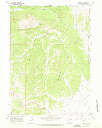
1966 · Pass Peak
USGS Topo · 1:24,000
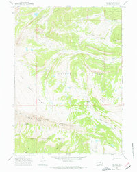
1967 · Tosi Peak
USGS Topo · 1:24,000
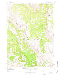
1967 · Crystal Peak
USGS Topo · 1:24,000
1967 · Doubletop Peak
USGS Topo · 1:24,000
1967 · Bondurant
USGS Topo · 1:24,000