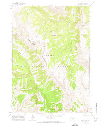
1967 Map of Crystal Peak
USGS Topo · Published 1970About this map
Gros Ventre Range peaks and high-altitude water systems dominate this 1960s topographic study within the Teton National Forest. The landscape is defined by massive natural elevations such as Pyramid Peak, Crystal Peak, and Corner Peak, which rise above a network of drainages including the West Fork, Swift Creek, and the wandering Crystal Creek. The map records a primitive backcountry infrastructure focused on the extensive Pack Trail system, which serves as the primary means of navigating the high passes and narrow drainages.
Find a feature on this map
18 named features on this map. Tap any name to fly to it.
Don’t see what you’re looking for? This feature index may not catch every label — zoom into the map to look around manually.
Map Details
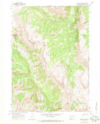
Editions of this 1967 Crystal Peak Map
2 editions found
Other maps of this area

1899 · Grand Teton
USGS Topo · 1:125,000

1901 · Grand Teton
USGS Topo · 1:125,000

1902 · Mt Leidy
USGS Topo · 1:125,000

1907 · Gros Ventre
USGS Topo · 1:125,000

1910 · Gros Ventre
USGS Topo · 1:125,000

1931 · Jackson
USGS Topo · 1:125,000

1935 · Jackson
USGS Topo · 1:125,000

1955 · Driggs
USGS Topo · 1:250,000

1958 · Driggs
USGS Topo · 1:250,000

1962 · Driggs
USGS Topo · 1:250,000