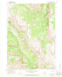
1967 Map of Crystal Peak
USGS Topo · Published 1971About this map
Gros Ventre Range peaks and high-altitude drainage systems dominate this mid-century topographic study within the Teton National Forest. The landscape is defined by the sharp elevations of Crystal Peak, Pyramid Peak, and Corner Peak, which rise above a network of alpine waterways including the West Fork Crystal Creek and the southern flow of Granite Creek. A network of Pack Trails provides the only recorded infrastructure through this wilderness, crossing critical transition points like Packsaddle Pass.
Find a feature on this map
18 named features on this map. Tap any name to fly to it.
Don’t see what you’re looking for? This feature index may not catch every label — zoom into the map to look around manually.
Map Details
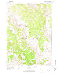
Editions of this 1967 Crystal Peak Map
2 editions found
Other maps of this area

1899 · Grand Teton
USGS Topo · 1:125,000

1901 · Grand Teton
USGS Topo · 1:125,000

1902 · Mt Leidy
USGS Topo · 1:125,000

1907 · Gros Ventre
USGS Topo · 1:125,000

1910 · Gros Ventre
USGS Topo · 1:125,000

1931 · Jackson
USGS Topo · 1:125,000

1935 · Jackson
USGS Topo · 1:125,000

1955 · Driggs
USGS Topo · 1:250,000

1958 · Driggs
USGS Topo · 1:250,000

1962 · Driggs
USGS Topo · 1:250,000