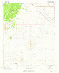
1960 Map of Dough Mountain
USGS Topo · Published 1973About this map
The Laguna Indian Reservation landscape is defined by its dramatic geologic formations and industrial outposts, where the Atchison Topeka and Santa Fe railroad skirts the northern boundary alongside the Rio San Jose. Mining and infrastructure are central to the area's mid-century character, evidenced by the South Laguna Mines tucked near South Point Mesa and the Laguna Compressor Sta situated near a major pipeline.
Find a feature on this map
31 named features on this map. Tap any name to fly to it.
Don’t see what you’re looking for? This feature index may not catch every label — zoom into the map to look around manually.
Map Details
Editions of this 1960 Dough Mountain Map
2 editions found
Other maps of this area

1883 · Mt. Taylor
USGS Topo · 1:250,000

1886 · Mt. Taylor
USGS Topo · 1:250,000

1892 · Mt. Taylor
USGS Topo · 1:250,000

1899 · Mt. Taylor
USGS Topo · 1:250,000

1917 · Cerro Verde
USGS Topo · 1:125,000

1954 · Socorro
USGS Topo · 1:250,000

1956 · South Garcia
USGS Topo · 1:62,500

1957 · Laguna
USGS Topo · 1:24,000
1957 · Mesa Gigante
USGS Topo · 1:24,000

1957 · Mesita
USGS Topo · 1:24,000