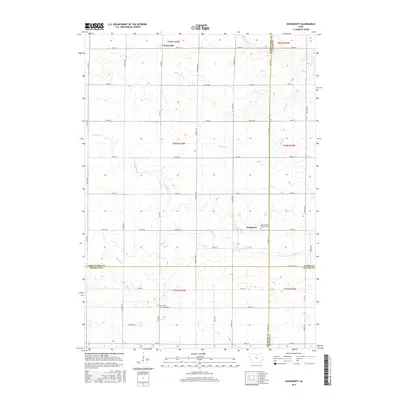
2015 Map of Dougherty
USGS Topo · Published 2015About this map
Dougherty and the surrounding northern Iowa prairie landscape are defined by a precise grid of rural section roads and the meandering paths of prairie streams. The settlement of Dougherty serves as a local hub, situated near the intersection of Zinnia Ave and 300th St. To the north, the small community of Cartersville sits along 160th St, marking the upper reaches of this agricultural territory.
Find a feature on this map
52 named features on this map. Tap any name to fly to it.
Don’t see what you’re looking for? This feature index may not catch every label — zoom into the map to look around manually.
Map Details
Editions of this 2015 Dougherty Map
This is the sole edition of this map. No revisions or reprints were ever made.
Other maps of this area

1954 · Mason City
USGS Topo · 1:250,000

1954 · Waterloo
USGS Topo · 1:250,000

1955 · Waterloo
USGS Topo · 1:250,000

1957 · Mason City
USGS Topo · 1:250,000

1958 · Mason City
USGS Topo · 1:250,000

1959 · Mason City
USGS Topo · 1:62,500

1959 · Mason City SE
USGS Topo · 1:24,000

1959 · Hanford
USGS Topo · 1:24,000

1971 · Rockford
USGS Topo · 1:24,000

1972 · Dumont North
USGS Topo · 1:24,000