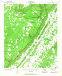
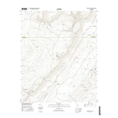
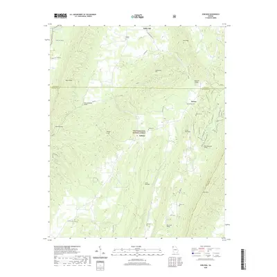
1946 Map of Dougherty Gap
USGS Topo · Published 1967About this map
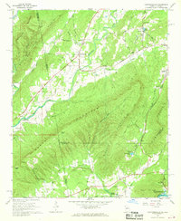
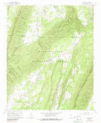
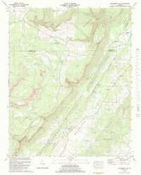
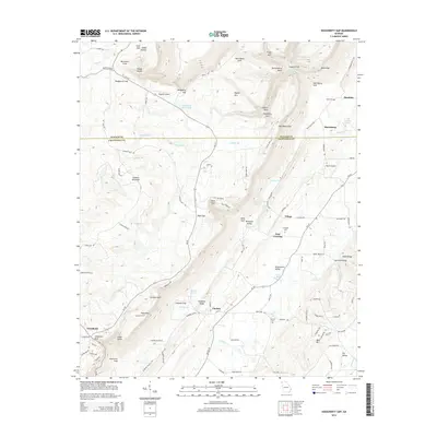
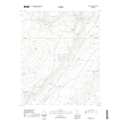
Pigeon Mountain and the towering Shinbone Ridge define the complex topography of this Northwest Georgia landscape at the post-war midpoint of the twentieth century. The map illustrates a rural society organized around narrow valleys and high gaps, where settlements like Cloudland and Chelsea follow the natural corridors of the Broomtown Valley. Local life is anchored by numerous country churches, including Beersheba Ch and New Hope Ch, alongside rural education centers like Teloga Sch.
Find a feature on this map
71 named features on this map. Tap any name to fly to it.
Don’t see what you’re looking for? This feature index may not catch every label — zoom into the map to look around manually.
Map Details
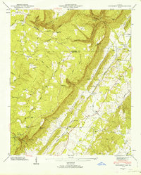
Editions of this 1946 Dougherty Gap Map
2 editions found
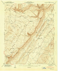
Historical Maps of Teloga Through Time
21 maps found
1936 Dougherty Gap
Chattooga County, GA
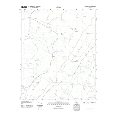
1946 Dougherty Gap
Chattooga County, GA
1947 Dougherty Gap
Chattooga County, GA
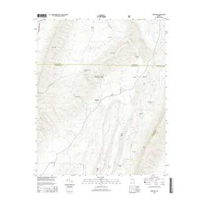
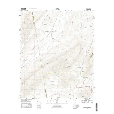
1967 Chattoogaville
Chattooga County, GA
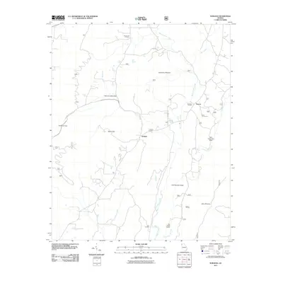
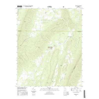
1967 Subligna
Chattooga County, GA
1983 Dougherty Gap
Chattooga County, GA
2011 Chattoogaville
Chattooga County, GA
2011 Dougherty Gap
Chattooga County, GA
2011 Subligna
Chattooga County, GA

2014 Chattoogaville
Chattooga County, GA
2014 Dougherty Gap
Chattooga County, GA
2014 Subligna
Chattooga County, GA
2017 Chattoogaville
Chattooga County, GA
2017 Dougherty Gap
Chattooga County, GA
2017 Subligna
Chattooga County, GA

2020 Chattoogaville
Chattooga County, GA
2020 Dougherty Gap
Chattooga County, GA
2020 Subligna
Chattooga County, GA
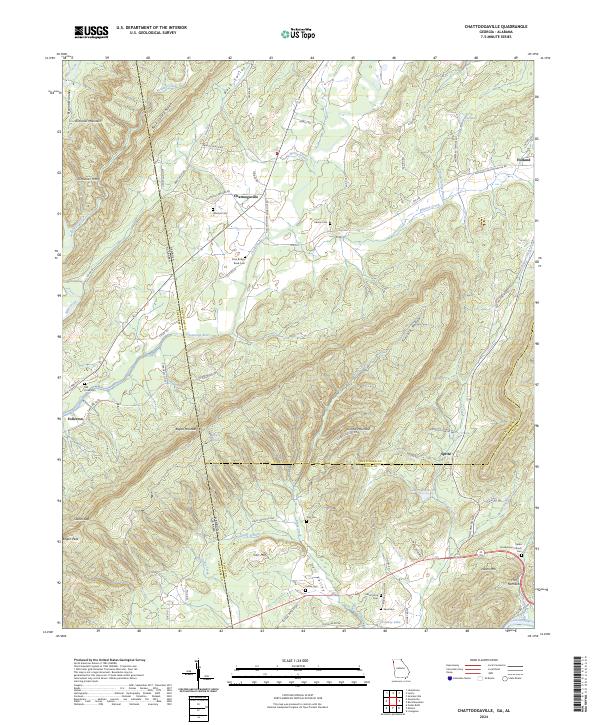
2024 Chattoogaville
Chattooga County, GA
2024 Dougherty Gap
Chattooga County, GA
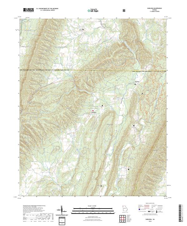
2024 Subligna
Chattooga County, GA