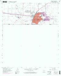
1958 Map of Douglas
USGS Topo · Published 1978About this map
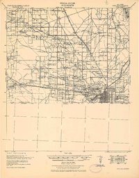
The United States Mexico border defines the southern edge of this landscape, where the international boundary meets the bustling copper-industry hub of Douglas. Industrial infrastructure is prominent throughout the western reaches of the city, dominated by the massive Copper Queen Smelter complex with its stacks, Acid Tank, and Oil Tanks. This industrial footprint is tied to the transit corridor of the Southern Pacific railroad, which skirts the Sulphur Springs Valley floor. North of the city center, the community of Pirtleville and the grounds of the Sacred Heart Cem sit near the winding Whitewater Draw. The map captures a moment of mid-century growth, noting expanded urban areas and civic landmarks like the Douglas Municipal Airport and the Fairgrounds. Genealogists will find significant detail in the multiple burial grounds, including Calvary Cemetery, and the placement of the County Hospital.
Find a feature on this map
32 named features on this map. Tap any name to fly to it.
Don’t see what you’re looking for? This feature index may not catch every label — zoom into the map to look around manually.
Map Details
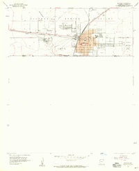
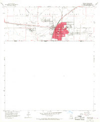
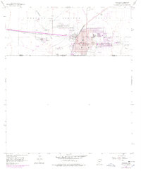
Editions of this 1958 Douglas Map
4 editions found
Other maps of this area

1914 · Douglas
USGS Topo · 1:62,500

1916 · Douglas
USGS Topo · 1:125,000

1919 · Douglas
USGS Topo · 1:125,000

1919 · Perilla
USGS Topo · 1:125,000

1925 · Douglas
USGS Topo · 1:62,500
1933 · Douglas
USGS Topo · 1:62,500

1940 · College Peaks
USGS Topo · 1:62,500

1955 · Douglas
USGS Topo · 1:250,000
1957 · Paul Spur
USGS Topo · 1:24,000
1958 · Double Adobe
USGS Topo · 1:24,000