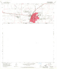
1958 Map of Douglas
USGS Topo · Published 1964About this map
Industrial activity along the United States Mexico border defines this mid-century portrait of Douglas, Arizona. The massive footprint of the Copper Queen Smelter dominates the southwestern quadrant, connected to the wider world by the Southern Pacific railroad and localized spurs. This smelter site, with its acid tanks and stacks, represents the primary economic engine of the Sulphur Springs Valley at this time. North of the city center, the community of Pirtleville and the settlement of Calumet sit near the winding Whitewater Draw.
Find a feature on this map
29 named features on this map. Tap any name to fly to it.
Don’t see what you’re looking for? This feature index may not catch every label — zoom into the map to look around manually.
Map Details
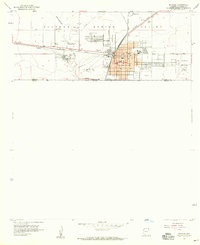
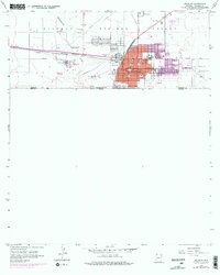
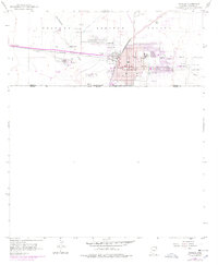
Editions of this 1958 Douglas Map
4 editions found
Other maps of this area

1914 · Douglas
USGS Topo · 1:62,500

1916 · Douglas
USGS Topo · 1:125,000

1919 · Douglas
USGS Topo · 1:125,000

1919 · Perilla
USGS Topo · 1:125,000

1925 · Douglas
USGS Topo · 1:62,500
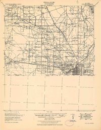
1933 · Douglas
USGS Topo · 1:62,500

1940 · College Peaks
USGS Topo · 1:62,500

1955 · Douglas
USGS Topo · 1:250,000
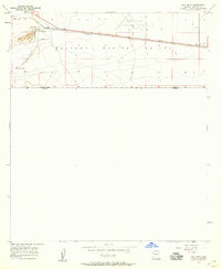
1957 · Paul Spur
USGS Topo · 1:24,000
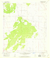
1958 · Double Adobe
USGS Topo · 1:24,000