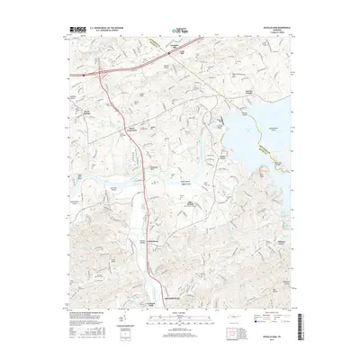
2016 Map of Douglas Dam
USGS Topo · Published 2016About this map
French Broad River and Little Pigeon River dominate the landscape of Sevier County in this 2016 survey, a region defined by the waters of Douglas Lake. The massive Douglas Dam controls the waterway, creating prominent features like Trotter Bluff and Douglas Shoals. The area’s agricultural and industrial heritage is evident in the survival of family-named landmarks such as Cook Mill and Dumplin Mill, alongside a dense network of early crossroads and rural settlements.
Find a feature on this map
172 named features on this map. Tap any name to fly to it.
Don’t see what you’re looking for? This feature index may not catch every label — zoom into the map to look around manually.
Map Details
Editions of this 2016 Douglas Dam Map
This is the sole edition of this map. No revisions or reprints were ever made.
Other maps of this area

1883 · Morristown
USGS Topo · 1:125,000

1886 · Knoxville
USGS Topo · 1:125,000

1892 · Knoxville
USGS Topo · 1:125,000

1893 · Mt Guyot
USGS Topo · 1:125,000

1893 · Morristown
USGS Topo · 1:125,000

1894 · Knoxville
USGS Topo · 1:125,000

1895 · Morristown
USGS Topo · 1:125,000

1895 · Knoxville
USGS Topo · 1:125,000

1897 · Maynardville
USGS Topo · 1:125,000

1900 · Maynardville
USGS Topo · 1:125,000