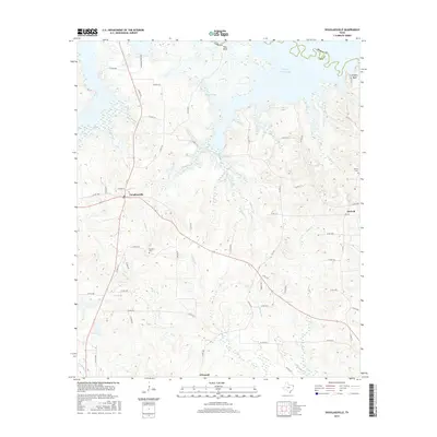
2016 Map of Douglassville
USGS Topo · Published 2016About this map
Douglassville serves as the central hub of this Northeast Texas landscape, situated at the junction of Highway 77 and several local routes that wind through the timbered creek bottoms of Cass County. To the north, the waters of Wright Patman Lake dominate the terrain, creating a complex shoreline marked by distinctive elevations like Pine Bluff and Knights Bluff. The area's network of waterways, including Ballard Creek, Webster Cr, and Ellington Cr, indicates a heavily dissected landscape that has historically shaped the placement of local roads and farmsteads.
Find a feature on this map
69 named features on this map. Tap any name to fly to it.
Don’t see what you’re looking for? This feature index may not catch every label — zoom into the map to look around manually.
Map Details
Editions of this 2016 Douglassville Map
This is the sole edition of this map. No revisions or reprints were ever made.
Other maps of this area

1907 · Atlanta
USGS Topo · 1:62,500

1909 · New Boston
USGS Topo · 1:62,500

1909 · Texarkana
USGS Topo · 1:62,500

1910 · Linden
USGS Topo · 1:62,500

1910 · Atlanta
USGS Topo · 1:62,500

1953 · Texarkana
USGS Topo · 1:250,000

1954 · Lake Texarkana
USGS Topo · 1:24,000
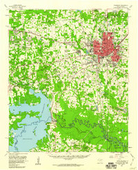
1954 · Texarkana
USGS Topo · 1:62,500

1955 · Corley
USGS Topo · 1:24,000

1955 · Maud
USGS Topo · 1:24,000