
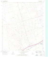
1964 Map of Douro
USGS Topo · Published 1967About this map
The Donnelly Oil Field, Cowden Field, and Harper Field dominate this mid-century landscape in Ector County, illustrating the intensive petroleum development of the Permian Basin. A dense grid of pipelines and service roads connects countless well sites across the terrain, bisected by the prominent Monahans Draw. The mapping of several distinct ranch-era water sources, including West Buchanan Well and the Old Johnson Well, provides a record of the area's transition from cattle country to an industrial energy hub.
Find a feature on this map
20 named features on this map. Tap any name to fly to it.
Don’t see what you’re looking for? This feature index may not catch every label — zoom into the map to look around manually.
Map Details
Editions of this 1964 Douro Map
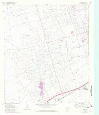
Other maps of this area

1954 · Pecos
USGS Topo · 1:250,000

1957 · Pecos
USGS Topo · 1:250,000

1964 · Odessa SW
USGS Topo · 1:24,000

1964 · Odessa NW
USGS Topo · 1:24,000

1964 · Turnbaugh Corner
USGS Topo · 1:24,000

1964 · Metz
USGS Topo · 1:24,000

1964 · Red Lakes
USGS Topo · 1:24,000

1964 · Penwell
USGS Topo · 1:24,000

1964 · Clark Brothers Ranch
USGS Topo · 1:24,000

1965 · Goldsmith
USGS Topo · 1:24,000