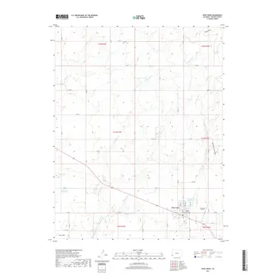
2019 Map of Dove Creek
USGS Topo · Published 2019About this map
Dove Creek serves as the focal point of this southwestern Colorado plateau, situated at the junction of several county roads and the regional highway system. The town's significance as a local center is marked by the Dolores County Courthouse and the nearby Dove Creek Airport. The surrounding landscape is characterized by a dense network of canyons and drainages, including Monument Cr, Wilson Draw, and West Branch Big Canyon, which carve through the high-elevation terrain.
Find a feature on this map
42 named features on this map. Tap any name to fly to it.
Don’t see what you’re looking for? This feature index may not catch every label — zoom into the map to look around manually.
Map Details
Editions of this 2019 Dove Creek Map
This is the sole edition of this map. No revisions or reprints were ever made.
Other maps of this area
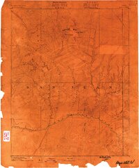
1886 · Abajo
USGS Topo · 1:250,000
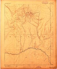
1892 · Abajo
USGS Topo · 1:250,000
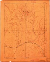
1893 · Abajo
USGS Topo · 1:250,000
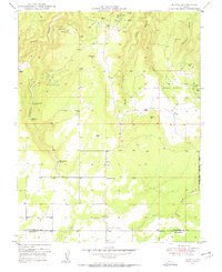
1949 · Egnar
USGS Topo · 1:24,000
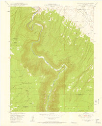
1949 · Joe Davis Hill
USGS Topo · 1:24,000
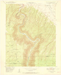
1950 · Joe Davis Hill
USGS Topo · 1:24,000
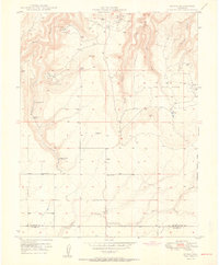
1950 · Egnar
USGS Topo · 1:24,000
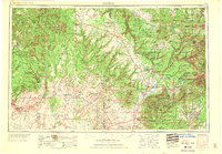
1956 · Cortez
USGS Topo · 1:250,000
1957 · Cedar 3 NW
USGS Topo · 1:24,000
1957 · Monument Canyon
USGS Topo · 1:62,500